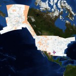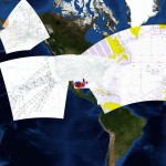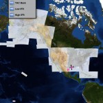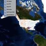
SkyCharts is now world wide!
Please see the 1505 cycle announcement!
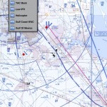
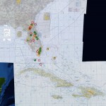
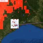
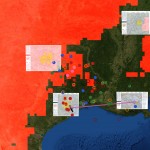
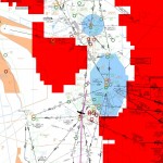
SkyCharts also got Caribbean low enroute coverage in the same cycle!
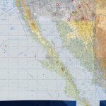
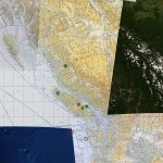
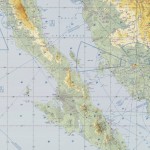
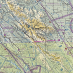
SkyCharts also includes Baja and Bahamas and BC in WAC charts in the CH-22&CH-23, and for Bahamas CH-25,CJ-26&CJ-27 and for the B.C./Alaska corridor as it includes CF-16&CE-15.
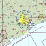
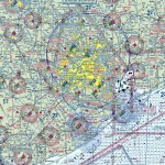
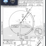
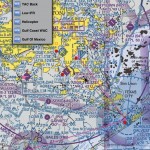
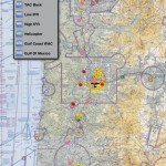
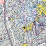
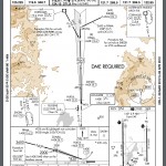
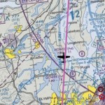
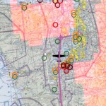
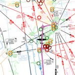
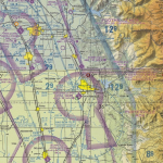
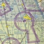
For TAC’s, instead of just having the inset used, SkyCharts uses as much as possible. The FLY charts (reverse of the TAC) have been available since 2010.
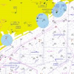
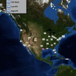
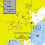
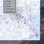
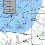
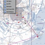
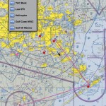
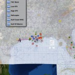
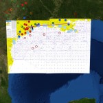
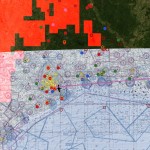
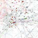
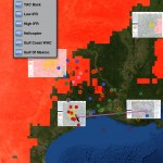
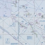
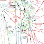
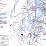
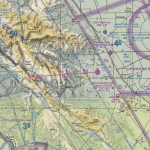
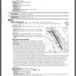
The app has also low and high enroute IFR charts.