Welcome to SkyCharts XC!
To download please use AppStore or Google PlayStore.
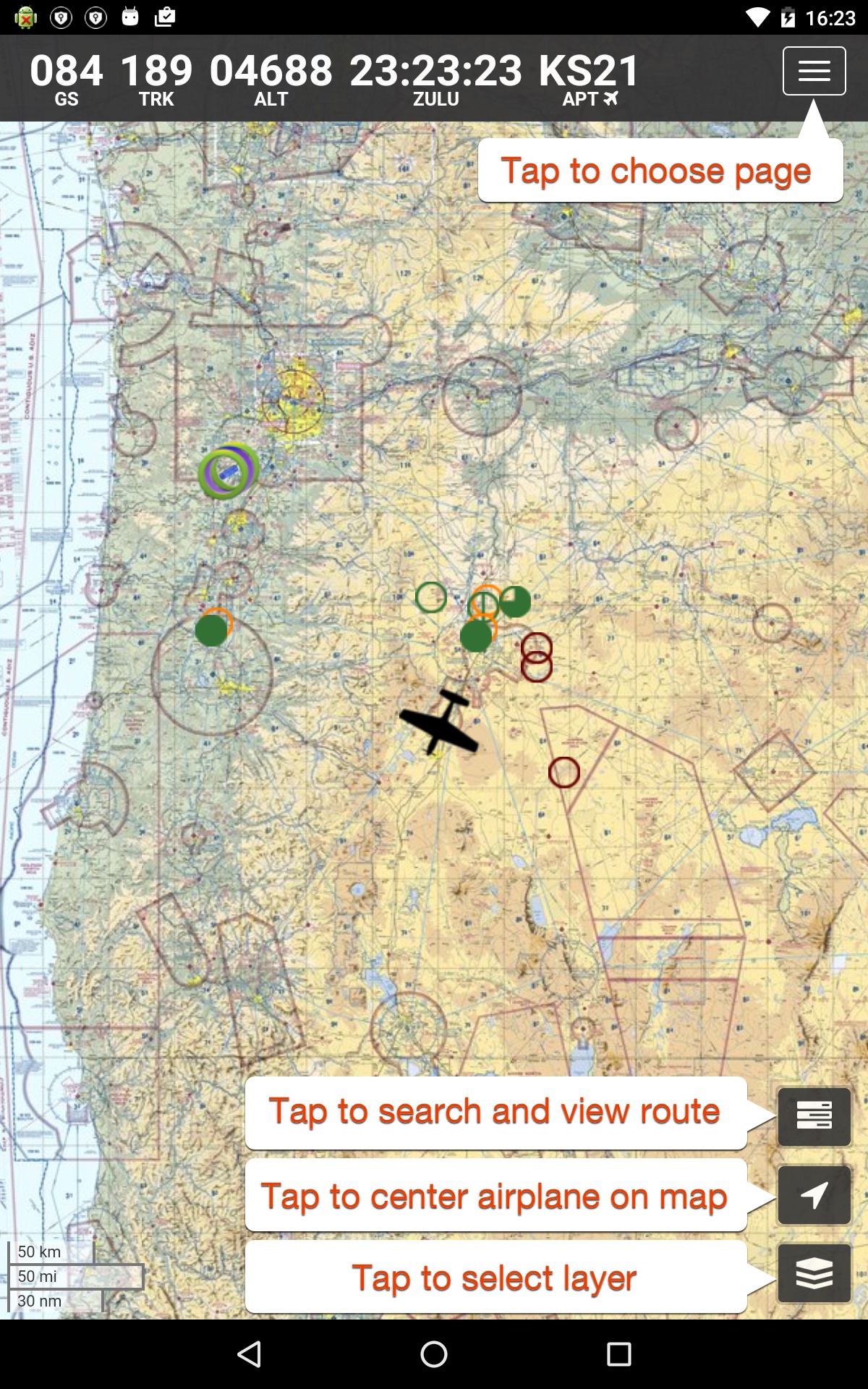
This is a new version of SkyCharts, with the same ease of use as before, but now with better performance and new features like
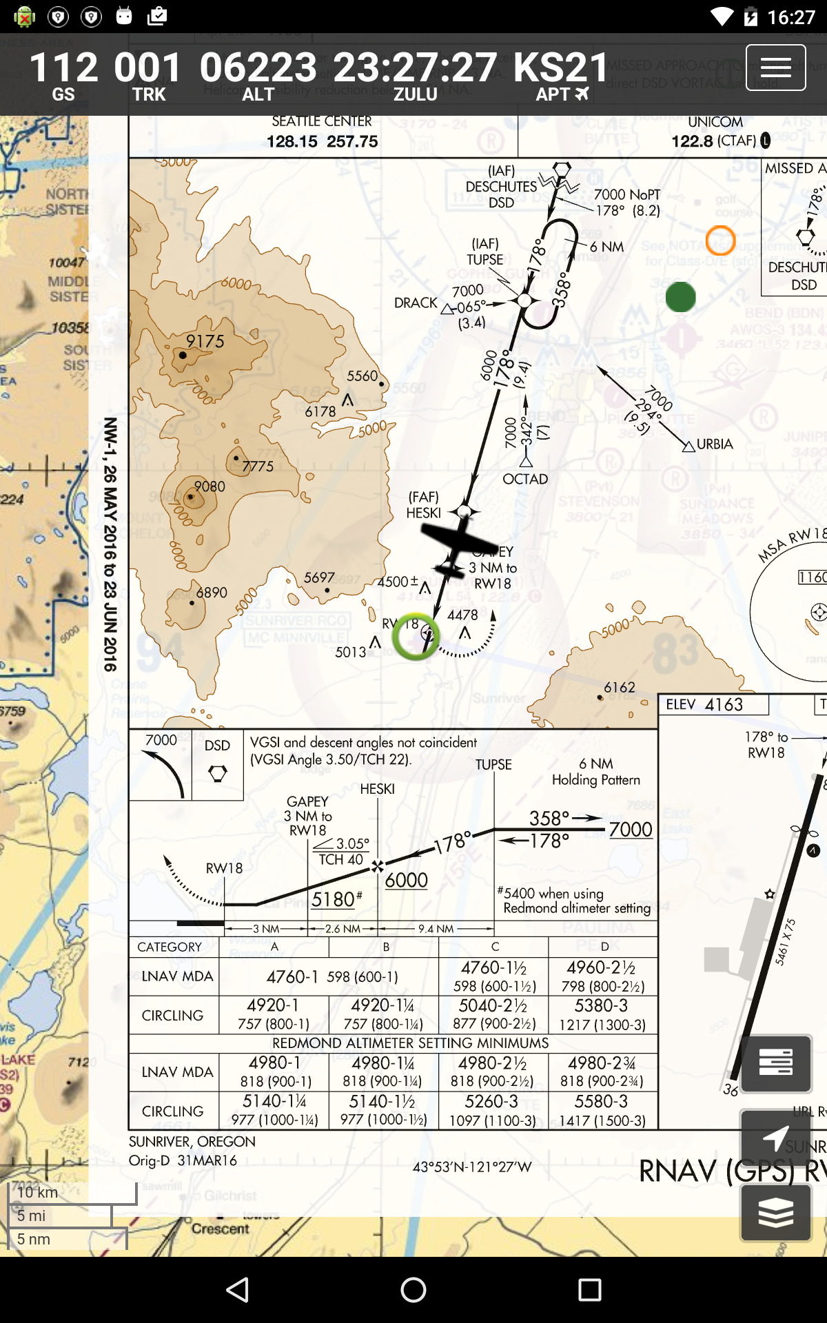
- geo-referenced approach plates
- selectable chart overlay
- drag-and-drop re-ordering of routes
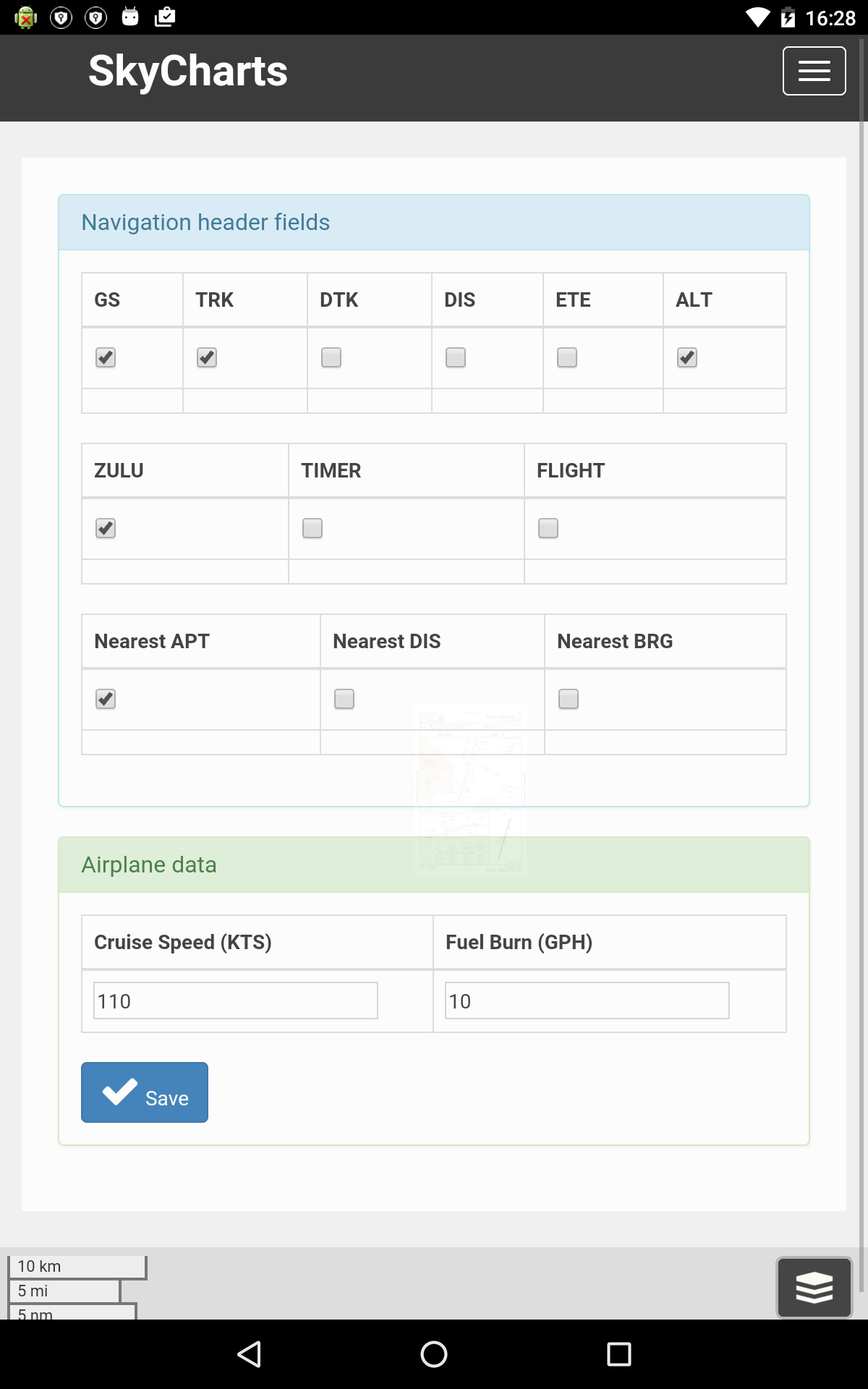
- automatic navigation header selection to maximize fields in portrait and landscape
- constant nearest calculation of NDB/VOR/ARPT/FIX for addition to route
- simple download selection
Like the Pro version it also has color coded METARs directly on the map, as well as TAF and SUA.
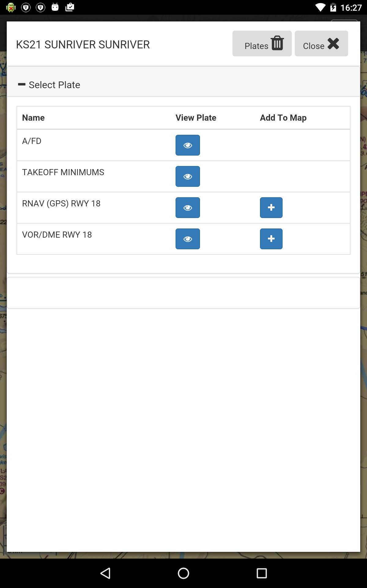
To view geo-referenced approach plates, simply double tap on the map to select a chart. You can either view the plate in the viewer, OR you can add it to the map. However, not all plates have been geo-referenced yet. Please let me know if you have any plates you specifically would need. Same goes for plates that appear to be incorrectly placed. UPDATE: as of Cycle 1608, FAA is starting to provide geo-reference information for EC1,SC1 and SW1, I assume future releases from FAA will include more.
SkyCharts XC now also has several layers you can add to the map. For example, you can layer a transparent IFR map on top of your VFR view. Simply tap on the ‘Layer’ button, then select your base map, and, then select any additional overlay maps.
It’s now easier to download maps, simply go to the ‘Download’ page and select which maps you want to use while in-flight.
So please remember to double tap on the map itself to bring up more information.
On route legs, you can move them, and you can delete by long-tap-hold, or delete the entire route by tapping on the ‘route/search’ button.
We would love to hear your feedback! For any questions, comments, or problems, please see the contact tab.


