More information will be available soon, stay tuned.
Here are some highlights of the new version:
-
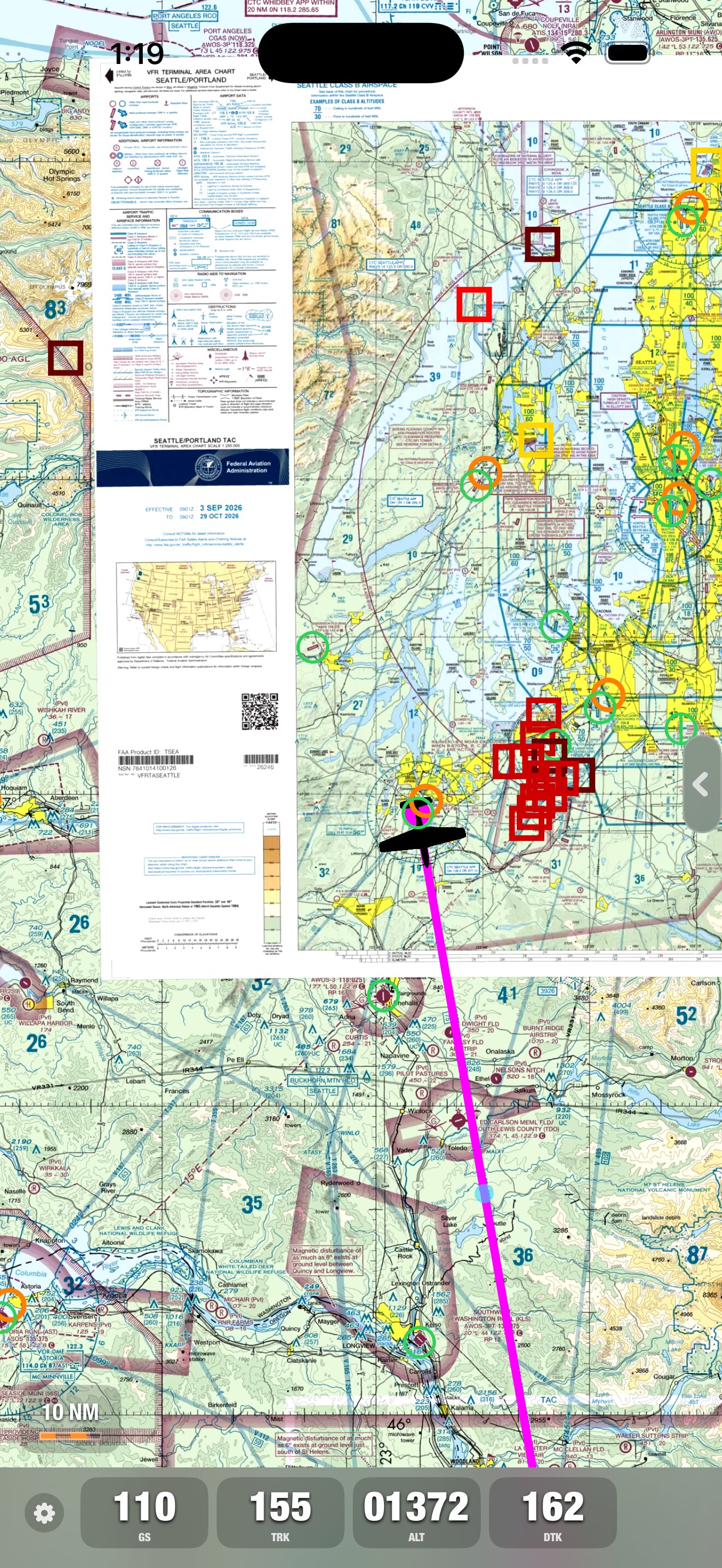
Faster performance: A rebuilt native iOS app, with layouts designed for iPhone and iPad, including the new Duo.
-
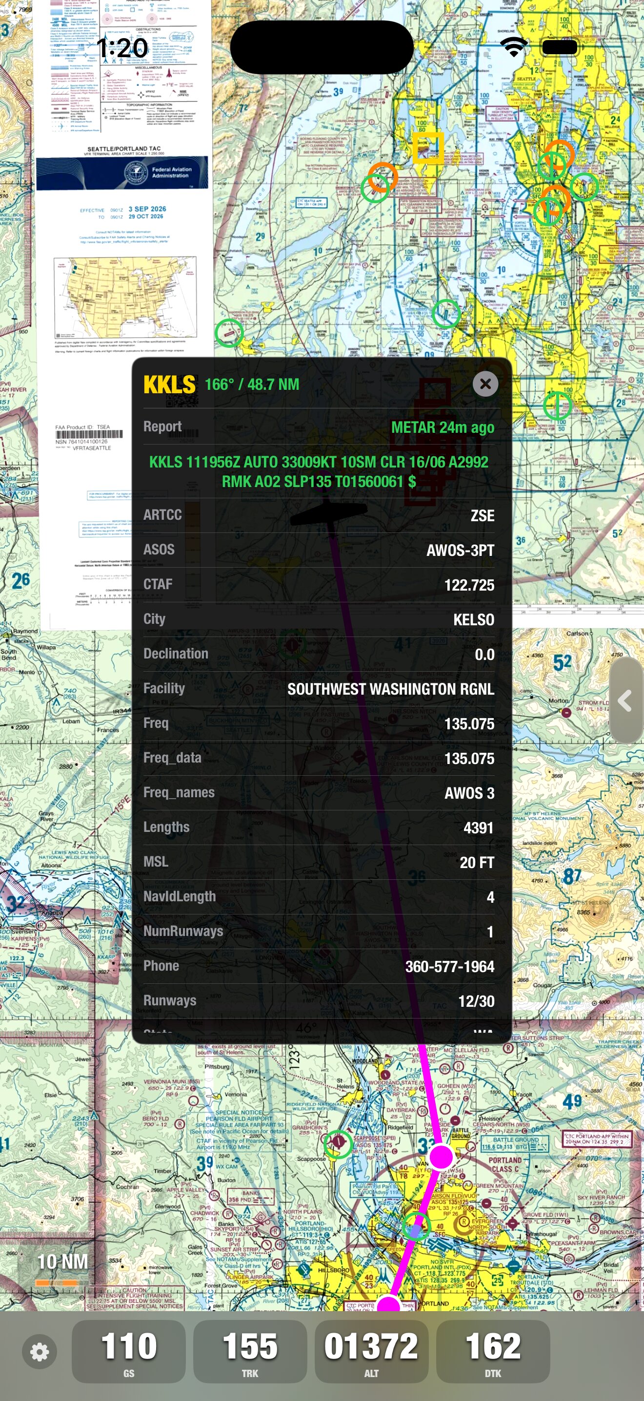
Sharper charts: Higher-quality Sectional, IFR, and TAC charts, plus a new vector AIP worldwide base map.
-
Track-up mode: Rotate the moving map to follow your track, or keep the familiar north-up view.
-
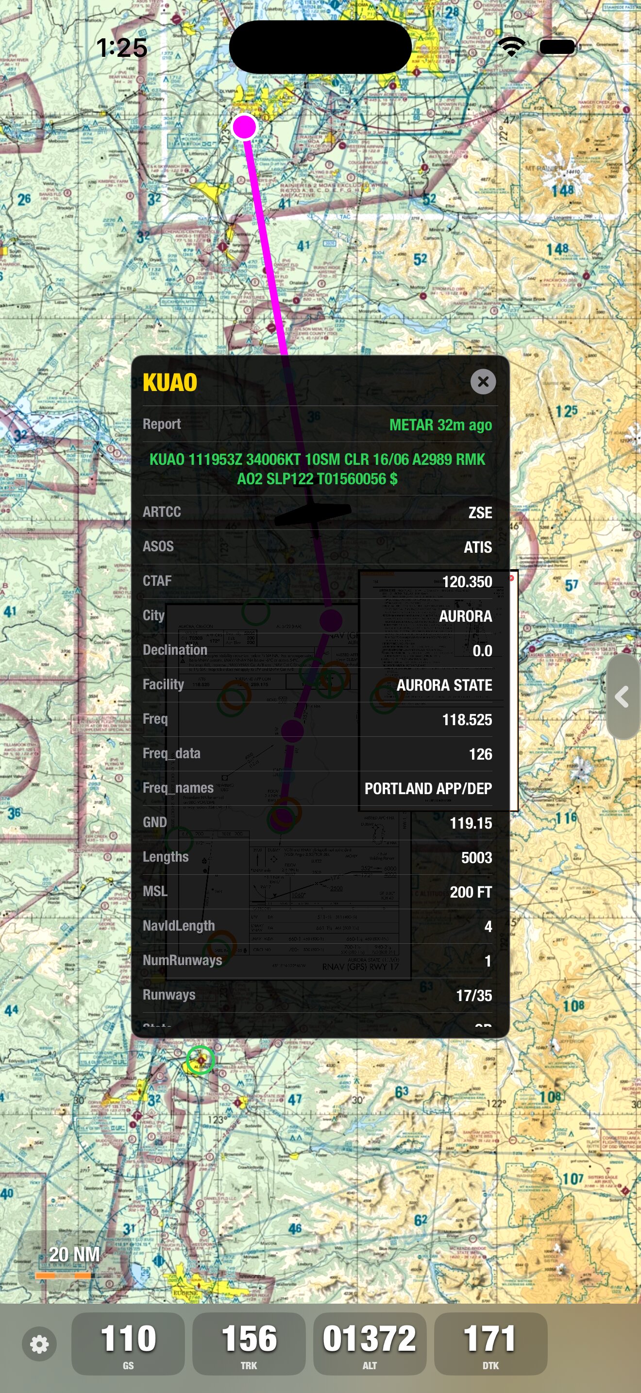
Weather on the map: Color-coded METARs and access to decoded METARs and TAFs, including report age.
-
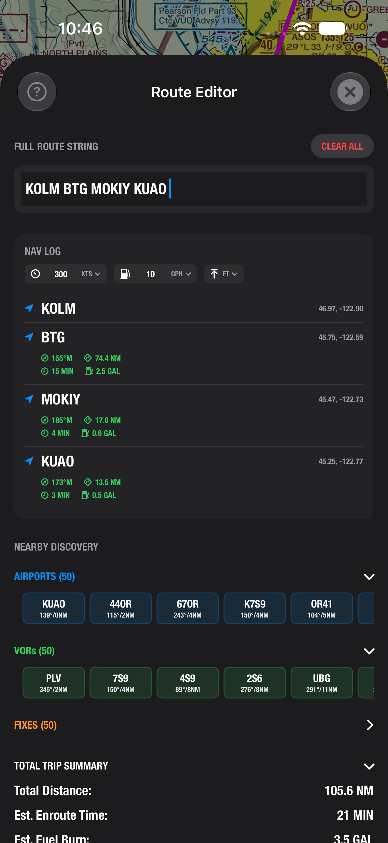
Easier route editing: Simpler route creation and editing, with your choice of speed units.
-
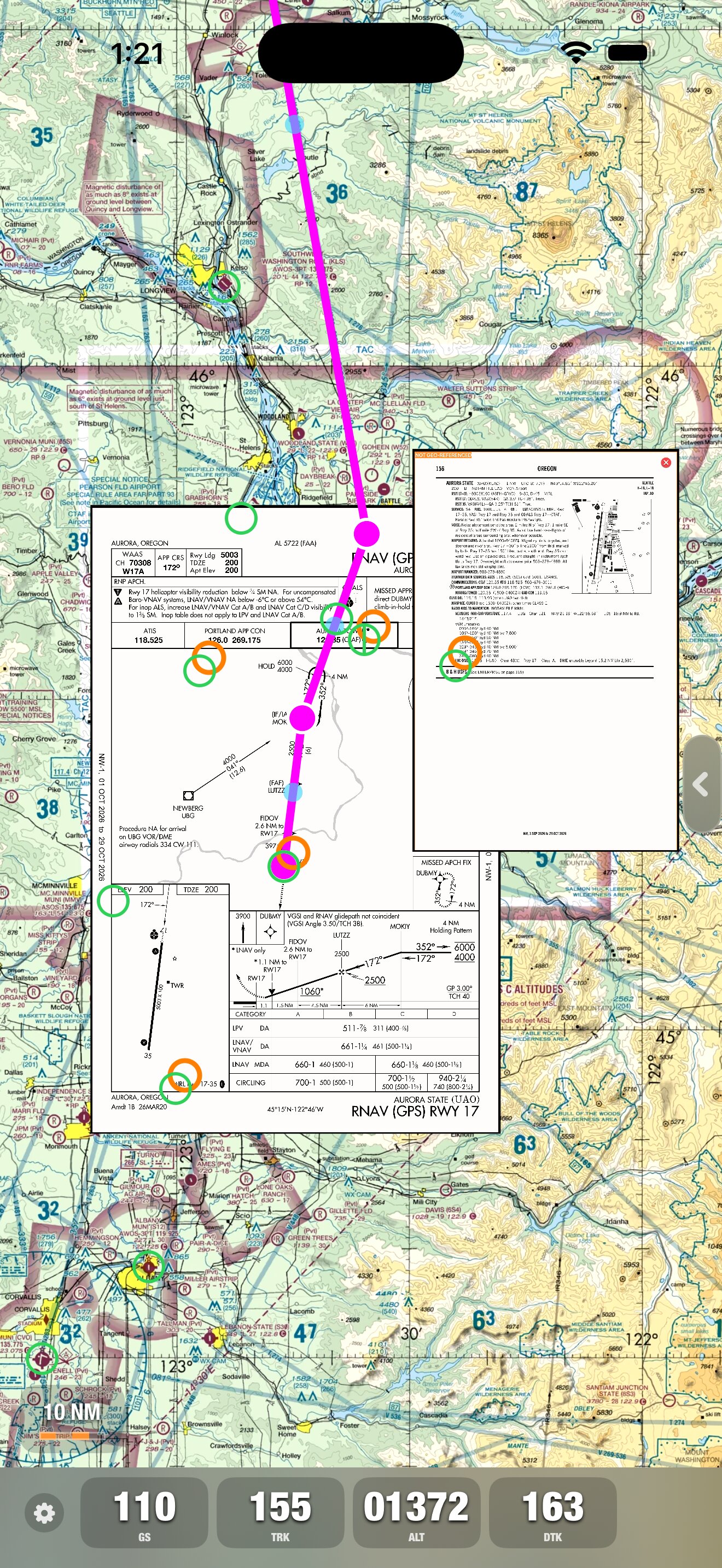
Airport information on the map: A/FD now shows up around their respective airports on the map.
-
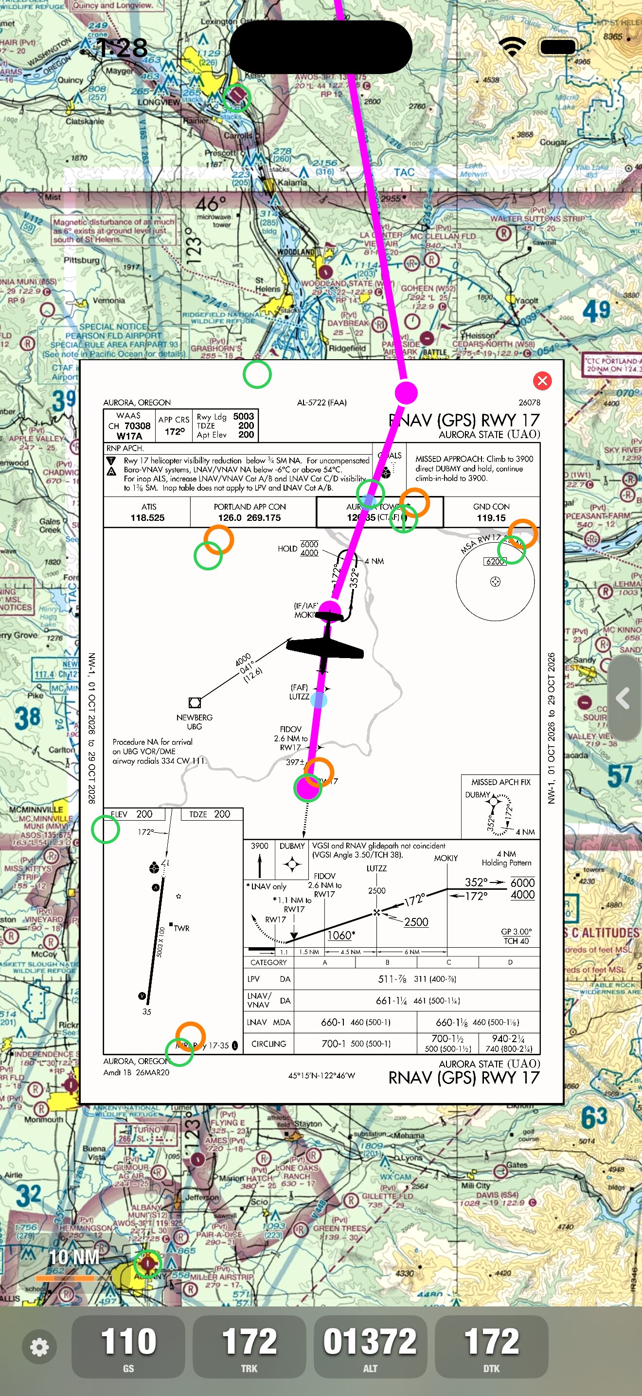
Approach plates are geo-referenced: Shows airplane location on the approach plate on the map.
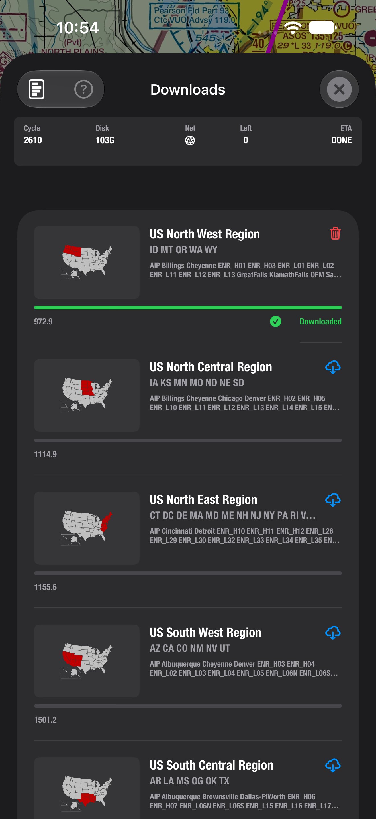
Offline maps and A/FD and approach plates remain available after downloading a region.
X-Plane support is also built in.