v6.1.0 released

What’s New in 6.1.0 

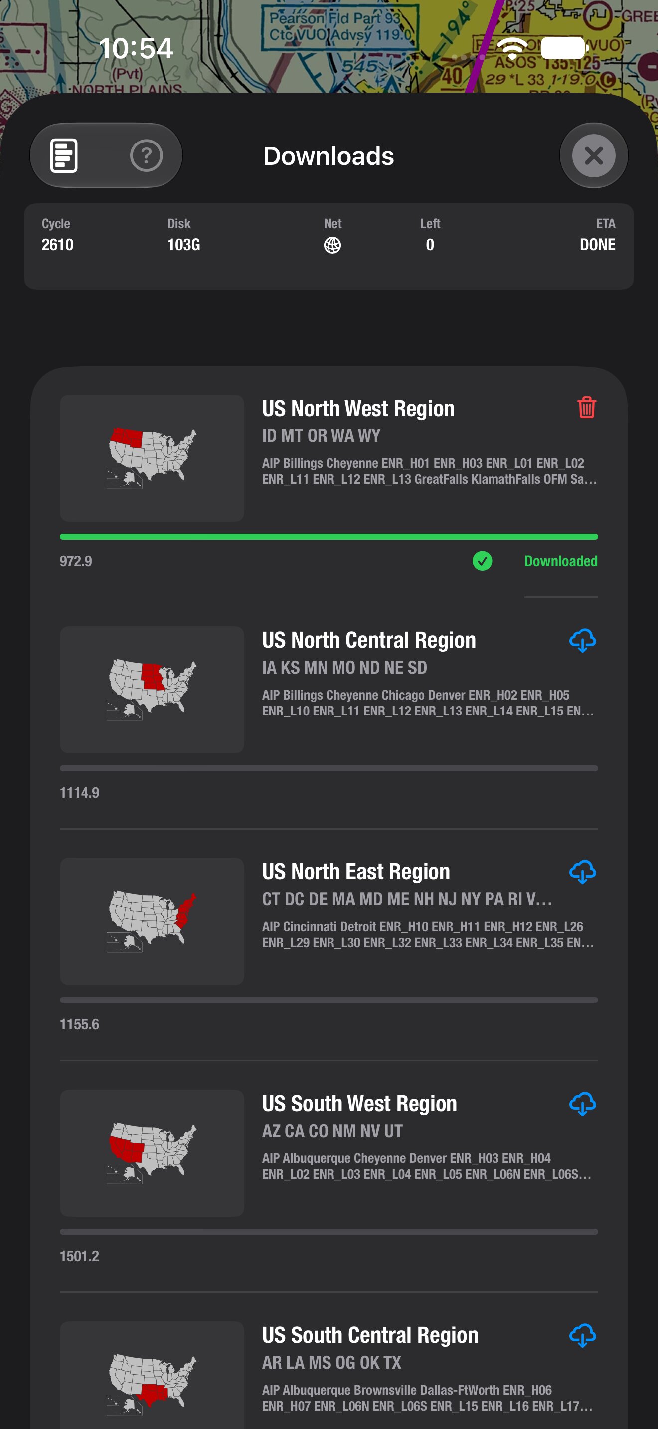
• Chart cycle effective dates. The download screen now shows the current AIRAC cycle’s effective dates, for example “Oct 29 – Nov 25″, next to the cycle number. The dates are shown in UTC and also appear when you launch offline.

• Easier popups. Tap an empty part of the map, or swipe down on a popup, to close it. Long popups still scroll normally. Swipe down on the header to dismiss them.

• Clearer special-use airspace. Tapping a MOA, restricted, prohibited, warning or alert area now shows what you need in the air: name, altitudes, times of use and controlling agency. Areas whose text can’t be condensed still show the full description.

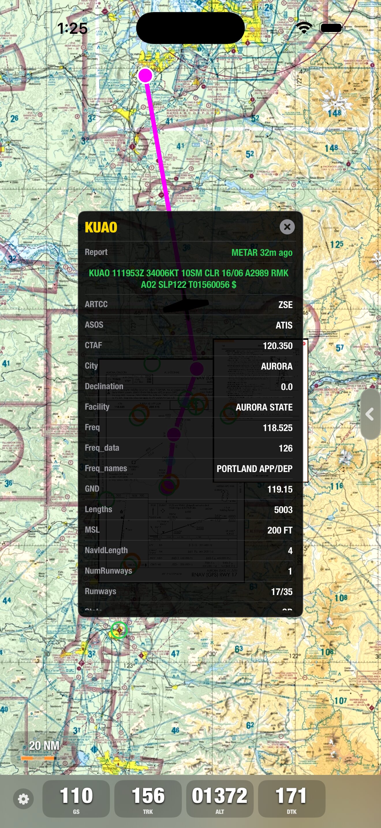
• ARTCC names. Airport info shows the center’s name, for example “Oakland Center (ZOA)”.

• Easier-to-read FIX labels. Labels are larger, darker and have a stronger outline, so they stand out on the chart.
 

v6.0.0 released!

More information will be available soon, stay tuned.

Here are some highlights of the new version:

  • Faster performance: A rebuilt native iOS app, with layouts designed for iPhone and iPad, including the new Duo.

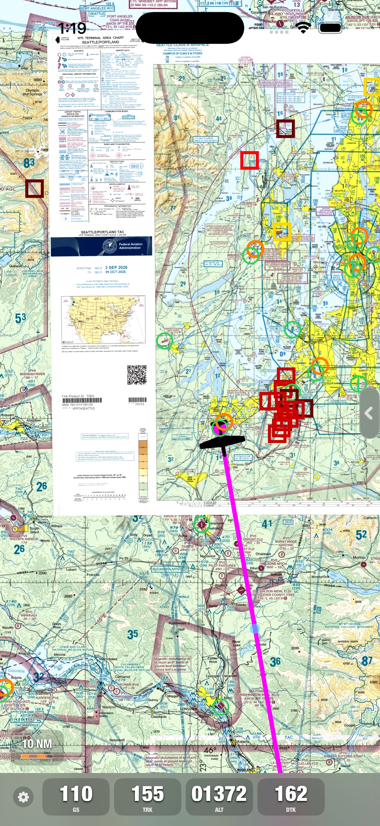
  • Sharper charts: Higher-quality Sectional, IFR, and TAC charts, plus a new vector AIP worldwide base map.

  • Track-up mode: Rotate the moving map to follow your track, or keep the familiar north-up view.

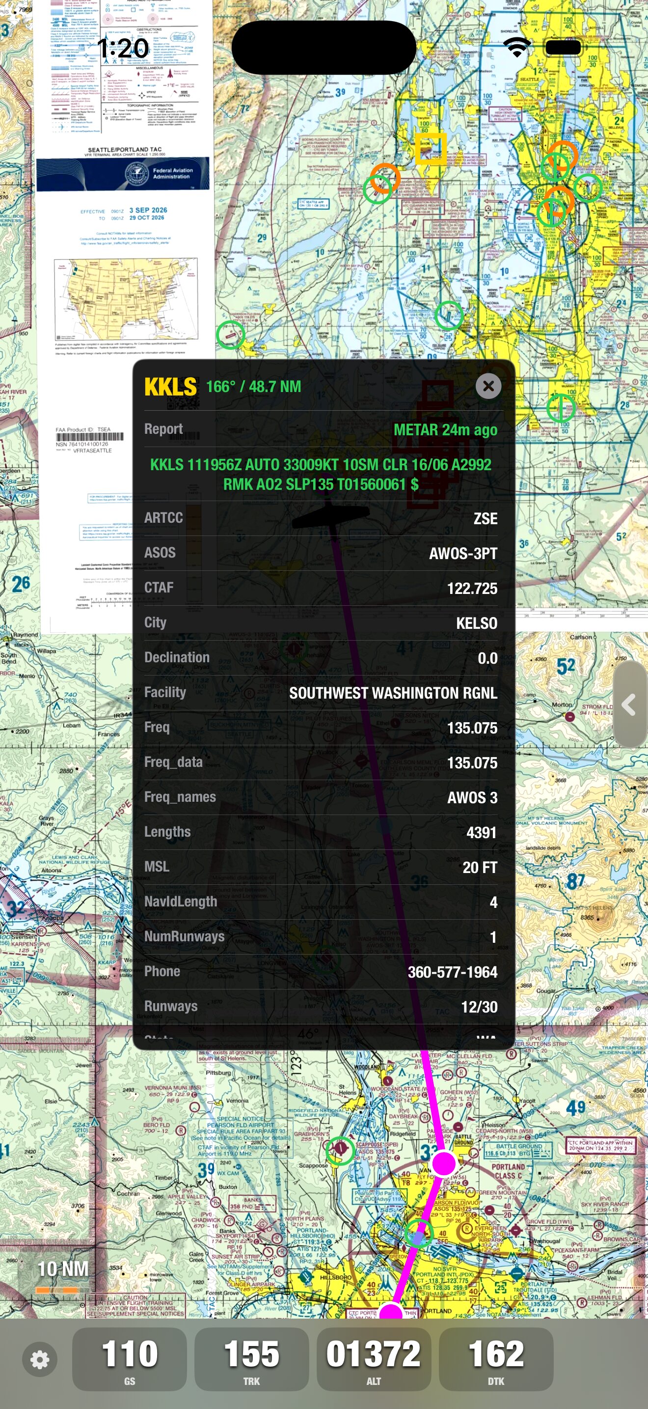
  • Weather on the map: Color-coded METARs and access to decoded METARs and TAFs, including report age.

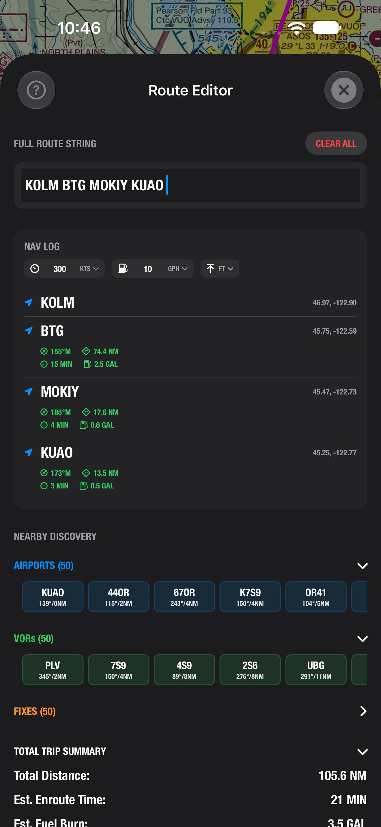
  • Easier route editing: Simpler route creation and editing, with your choice of speed units.

  • Airport information on the map: A/FD now shows up around their respective airports on the map.

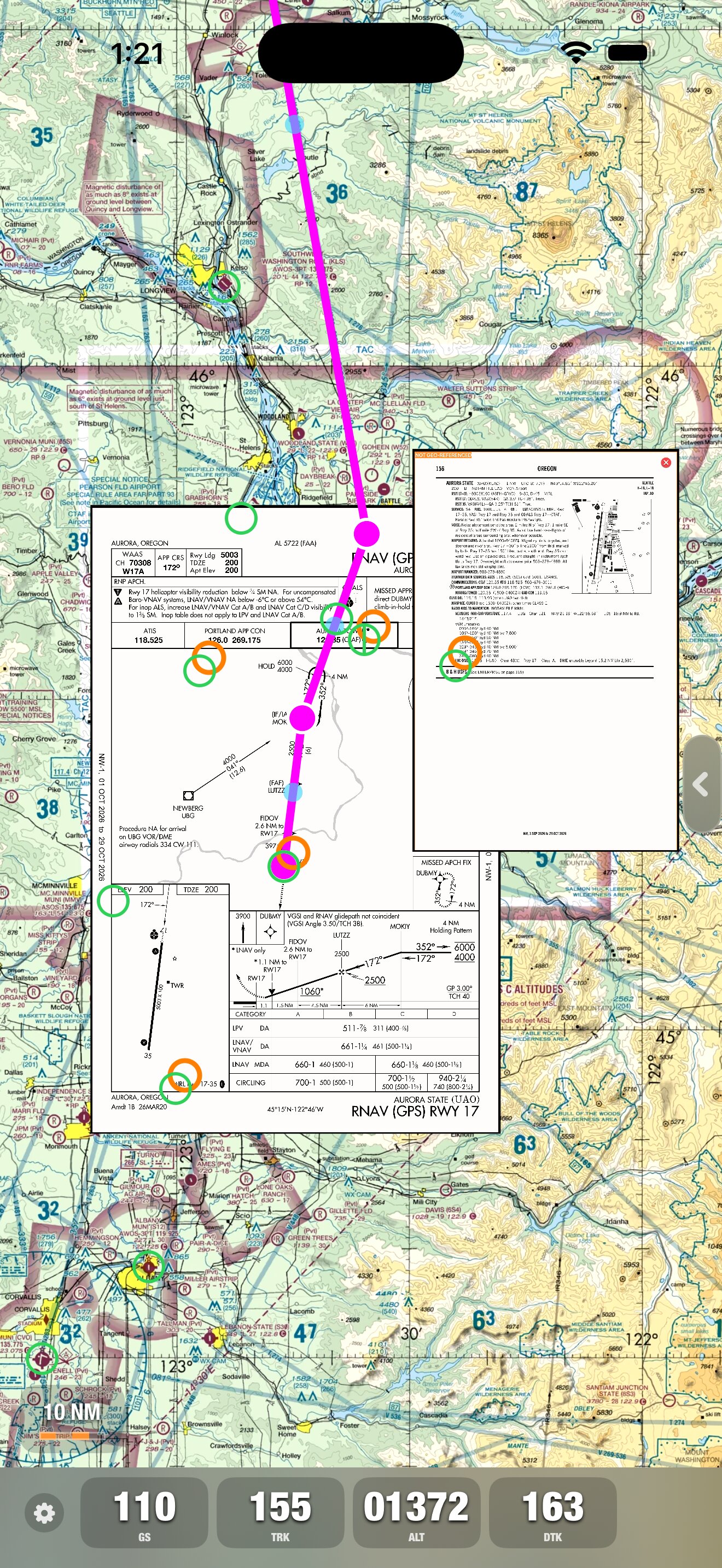
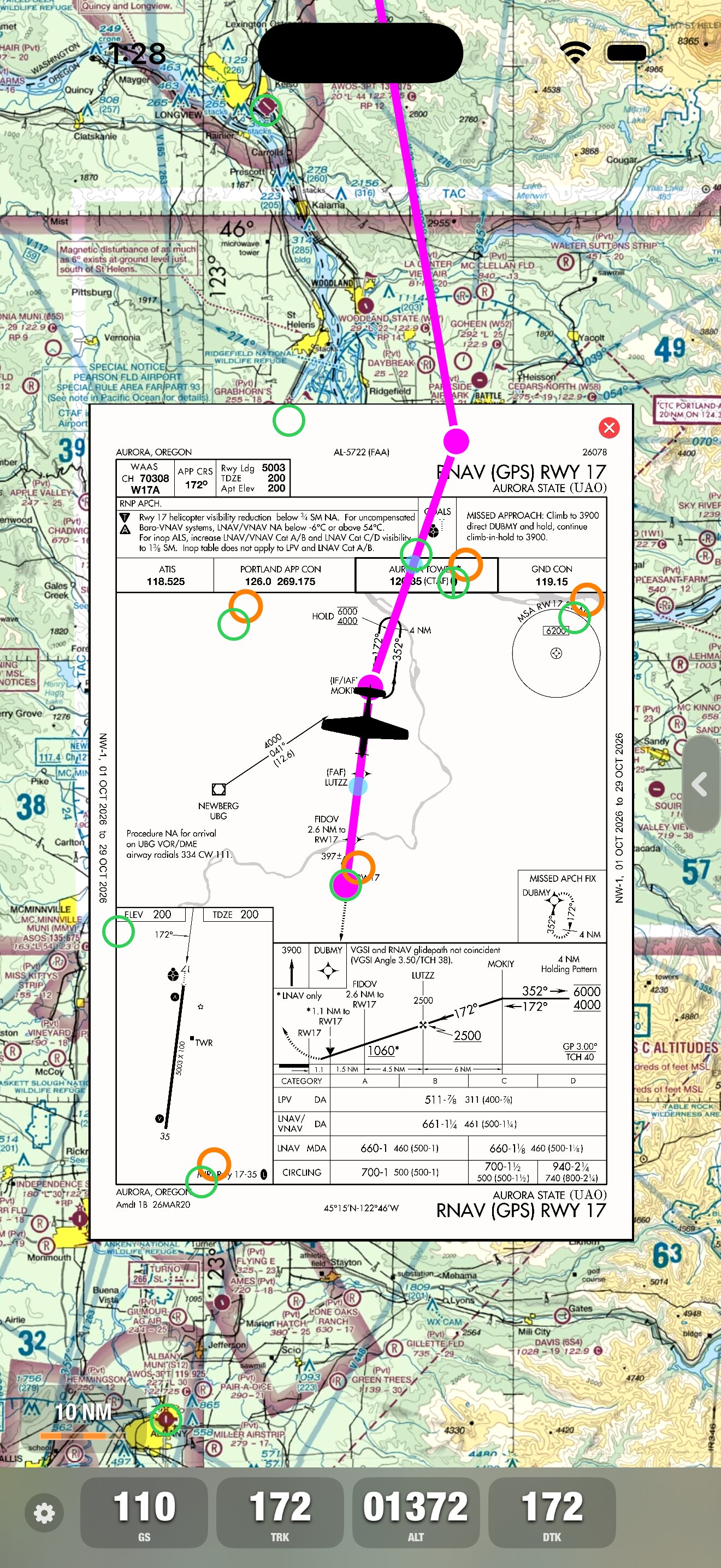
  • Approach plates are geo-referenced: Shows airplane location on the approach plate  on the map.

Offline maps and A/FD and approach plates remain available after downloading a region.

X-Plane support is also built in.

 Simulator Screenshot - iPhone 17 Pro Max - 2026-10-11 at 13.28.18 Simulator Screenshot - iPhone 17 Pro Max - 2026-10-11 at 13.25.54 Simulator Screenshot - iPhone 17 Pro Max - 2026-10-11 at 13.21.50 Simulator Screenshot - iPhone 17 Pro Max - 2026-10-11 at 13.20.08 Simulator Screenshot - iPhone 17 Pro Max - 2026-10-11 at 13.19.36 Screenshot iPhone 18 Pro Max 10-12-2026 at 10.54.27 Screenshot iPhone 18 Pro Max 10-12-2026 at 10.46.14

SkyCharts v5.4.5 released

Now you can download A/FD and approach plates on an airport basis
v5.4.5 gives you the choice of the usual EVERYTHING option (you get plates for all airports in the same region) and the option of just download the A/FD and approach plates for specific airports. Make sure you select the ‘Charts’ option in the download page, and not Everything. By doing this, you basically halve the total amount of data to download. Please make sure you have downloaded the plates you intend to use before going airborne, as it will obviously be impossible to download in the air!

Also, we have included a fix for user defined waypoints. Please check Q23 in the FAQ for the syntax.

http://skycharts.net/faq.html

img_0019img_0020