Monthly Archives: February 2013
SkyCharts v2.9.8 released!
SkyCharts Heli released!
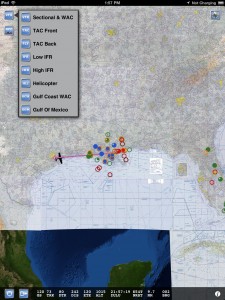
Three NEW geo-referenced charts for Helicopter pilots!
Besides the Heli chart itself you also get the Gulf Of Mexico and Gulf Coast WAC charts. The app also includes the VFR,TAC&FLY charts, as well as the Low Enroute IFR charts.
You also get ALL approach plates, A/FD information, published NOTAM, SUA info and Chart Legends for VFR,IFR&TPP (Terminal Procedures Publication).
AppStore link here.
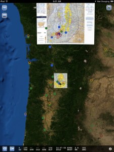
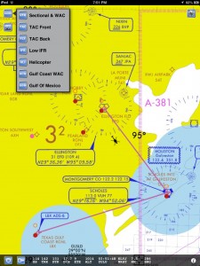
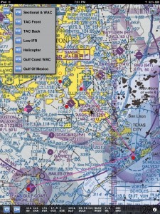
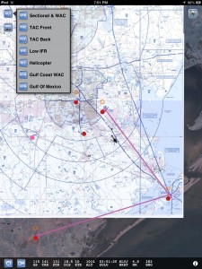
This is what the new charts look like, please check out the other screen shots.
Enjoy
Cycle 1302 released
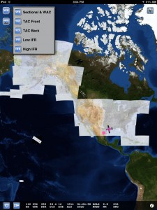
Now with a gorgeous satellite background where there is no aviation chart coverage!
Please check out more screen shots in the ‘screen shot’ tab. The next version of the app will also have an ‘easy chart select’ mechanism, but that version is still in review, stay tuned.
Next chart release is March 7. Please look up future release dates here.

