Future releases are listed here.
Enjoy.
Category Archives: Chart updates
Cycle 1208 released
However, FAA didn’t release the published NOTAMs in time for the release.
Future cycles are listed here.
Update: As of 7/26/12 10:11 PDT you will get the latest NOTAM.pdf when caching. If you cached during the night (when the update became available) please delete the app, reboot and re-install the app and cache again.
Cycle 1207 has been released
Next release (1208) is July 28. Please see the release dates here.
Questions ? Please see the contact tab.
Cycle 1206 has been released
Cycle 1205 has been released
Now with even sharper charts, a digital filter removes some of the scanning artifacts found in the sectional/WAC&TAC charts.
Next release is May 31. Please look up all future releases here.
Cycle 1204 has been released
Cycle 1203 has been released
SF over LA ??
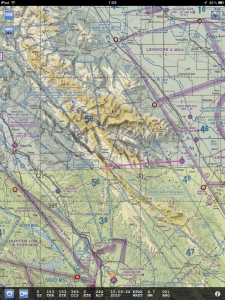
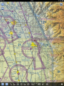
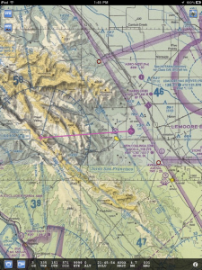
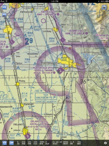
It came to my attention that the ROM (VOR) and KC80 airports have very little data on the Los Angeles sectional chart. The aviation data exist on the San Francisco sectional, but the way SkyCharts ‘stitch’ the charts, LA now wins.
I then tried the opposite, and ROM looks better, but then Porterville loose information.
Please comment on which way you prefer.
Of course, the best solution would be for FAA to add the data on the LA chart as well, please email them at 9-AMC-Aerochart@faa.gov
This is what the charts look like now:
And this is what having San Francisco ‘win’ looks like:
Cycle 1202 has been released
As usual FAA/Aeronav didn’t test all contents. One file has still not been updated, if you use the STEWY ONE (RNAV) at KACK please wait to update until the file has been updated (who knows how long this will take though). For now you get the 1201 version, not the 1202.
For future chart releases, check the dates here.
The release now contains the AREA chart for Washington. It was previously missing. If you notice a chart missing that you think should be there please let me know.
Download payloads now also have more average size. In previous cycles the last file could be a lot larger. Having a more even size should help especially on DSL or 3G/Edge networks.
Please also check the important post about Alaska charts here.
Update (2/12/12): All files have now been updated. If you need the updated version of 00659STEWY.PDF, please un-select, then re-select the US_NE region and let the app download it again.
SuperAWOS data added
SkyCharts normally use the NWS metars, but if you have an internet connected AWOS that’s not part of the NWS collection, please let me know and I can try adding the data.
A list of the SuperAWOS data is here.


