Category Archives: Release notes
SkyCharts v2.9.8 released!
SkyCharts Heli released!
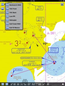
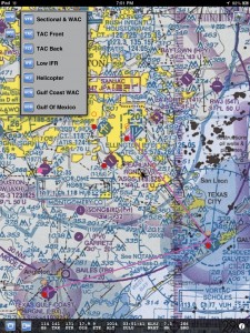
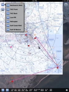
Three NEW geo-referenced charts for Helicopter pilots!
Besides the Heli chart itself you also get the Gulf Of Mexico and Gulf Coast WAC charts. The app also includes the VFR,TAC&FLY charts, as well as the Low Enroute IFR charts.
You also get ALL approach plates, A/FD information, published NOTAM, SUA info and Chart Legends for VFR,IFR&TPP (Terminal Procedures Publication).
AppStore link here.
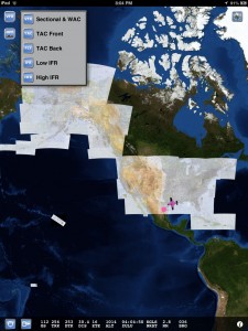
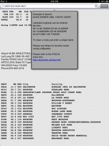
This is what the new charts look like, please check out the other screen shots.
Enjoy
Server changes
Long, long past due update of server. Please let me know if you have any issues.
SkyCharts v2.9.7 released
Fixes for erratic GS (ground speed), especially using the new Garmin GLO receiver. The BadElf, the GNS5870 and the XGPS-150 are all supported by SkyCharts.
Also comes with the larger NAV and Airport database by default, anyone in Canada and Mexico will like that. Enjoy.
Please upgrade
Please upgrade from v2.9.5.
Simply tap on AppStore, then Updates.
Only the latest version of the app will receive the 1211 chart update.
More METARs/TAFs!
Added Canadian and Mexican METARs/TAFs (Mexico data seems iffy, maybe its only valid during daylight hours ?)
In any case, for the 1211 database update the NavData should also include CA&MX data.
Thanks to http://www.ourairports.com/ for the data, if you find you’re missing some data please let them know and the same data will trickle down to SkyCharts.
Note: Only for CA/MX data, for now SkyCharts uses FAA data for CONUS/Alaska.
SkyCharts v2.9.6 released
Added iPhone5 and iOS6 support. Enjoy.
Please update or you will not receive any chart updates for the 1211 release.
Cycle 1210 released
Future release dates are listed here.
Enjoy.
Update message
PLEASE use the built in AppStore application to update applications.
iTunes frequently installs old versions.
Please see Q10 in the FAQ.

